Uniondale Fort
Uniondale Fort
Uniondale Fort
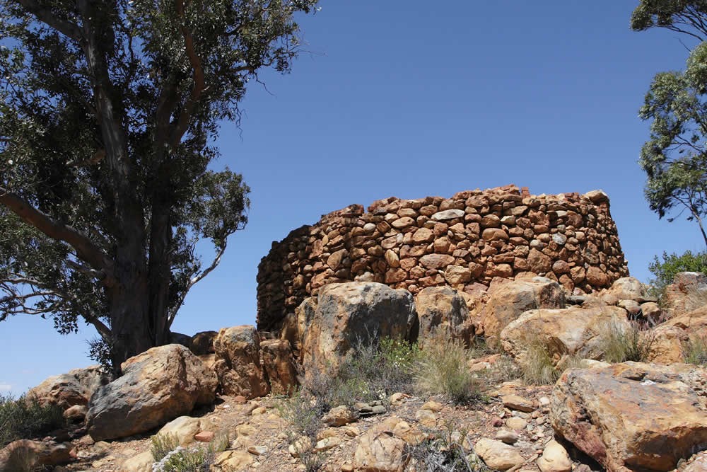
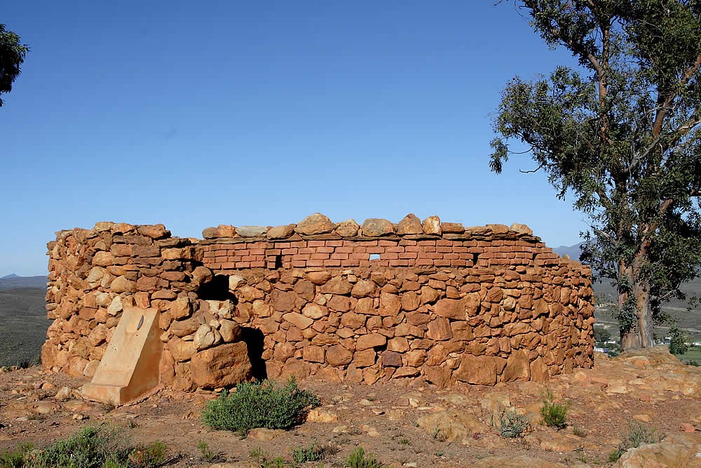
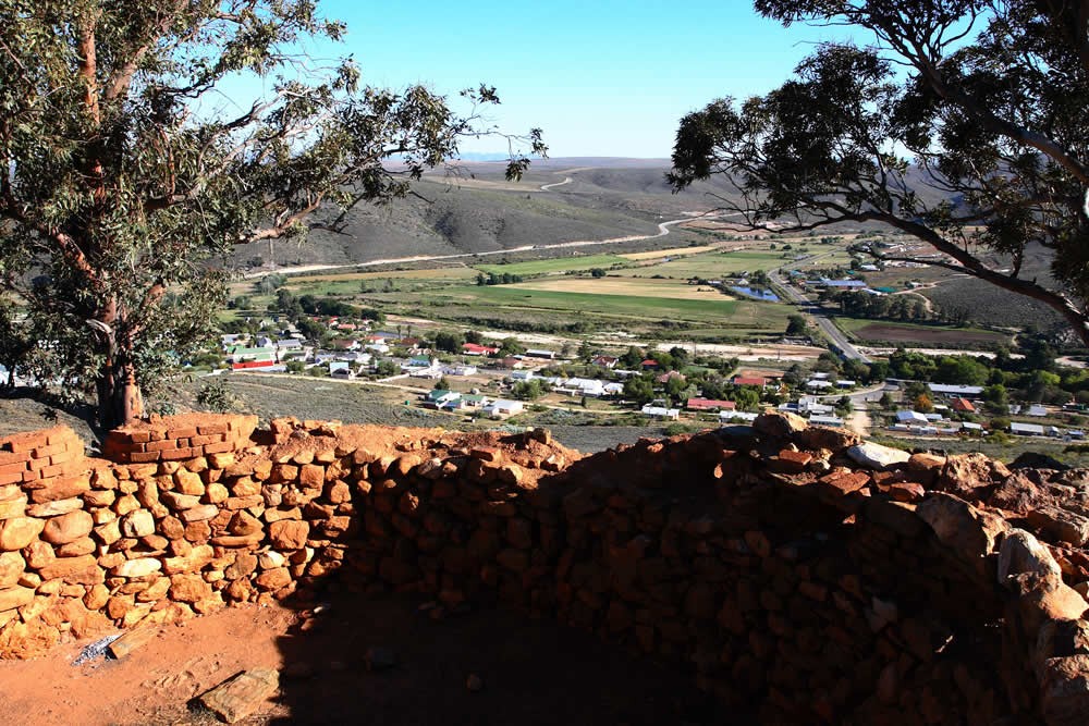
During the Anglo-Boer War there was a British garrison at Uniondale and a number of "forts" were built on the hills around the town (five according to some accounts, and six according to others).
The term fort is somewhat misleading as these were little more than very simply fortified observation points from which the garrison could be alerted on the approach of an enemy.
Two of these structures have been partially restored so as to give a reasonable appearance of how they probably looked during the war.
Map and Directions to Uniondale Fort
GPS : 33° 39' 35.18" S / 23° 7' 59.82" E
From the R62
- Approaching Uniondale on the R339, pass the bus top on the rightand turn first right towards the hospital
- At the T-junction at the church turn right
- At the cemetery bear left and follow the road to the fort at the top.
From Uniondale
- From Voortrekker Street, the main road, turn into Kerk Street next to the police station.
- At the cemetery bear left and follow the road to the fort at the top.